Avisos meteorológicos Reino Unido
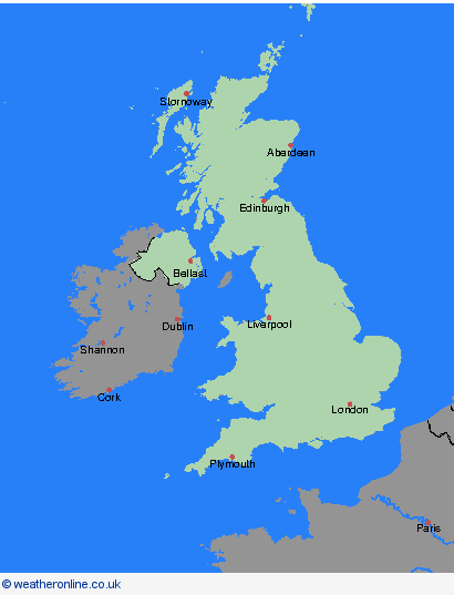


Reino Unido
- visão geral
- Órcades & Shetland
- Highland & Eilean Siar
- Grampian
- Strathclyde
- Central, Tayside & Fife
- SW Scotland, Lothian Borders
- Irlanda do Norte
- País de Gales
- North West England
- North East England
- Yorkshire & Humber
- West Midlands
- Midlands Orientais
- Leste da Inglaterra
- Sudoeste da Inglaterra
- Londres & Sudeste da Inglaterra
arquivo
25.04.2024